Tracking where cellular signal does not reach
Satellite network connection (Iridium/RockBLOCK, Globalstar) so your units keep reporting in jungle, sea, mountains or any area without coverage.
Automatic re-injection into the GPS software
Satellite positions flow into your platform on their own via the OsmAnd protocol, alongside the rest of the fleet, with no operator action.
Compatible with satellite networks
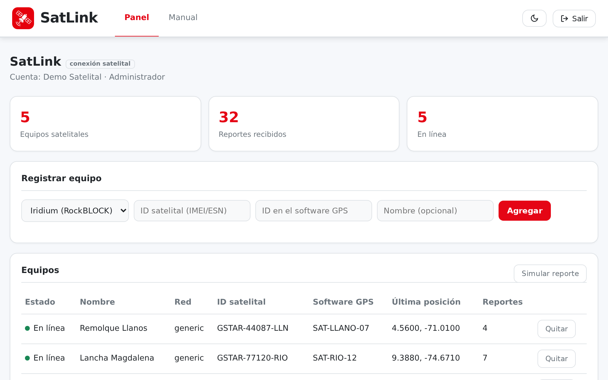
One adapter per network or device: Iridium/RockBLOCK, Globalstar and more. Adding a new network means adding an adapter, not rewriting the system.
Raw frame decoding
It interprets the SBD messages and bytes each device sends according to its firmware, and turns them into a map-ready position.
Secure multi-tenant console
Each distributor sees only their own equipment. Every provider webhook is protected with its own access key.
Complete relay log
A record of every message received: whether it was re-injected into the GPS software or discarded and why. Full traceability of the satellite flow.